Links
Geography via netstate.com |
Geography of North Dakota
Geography
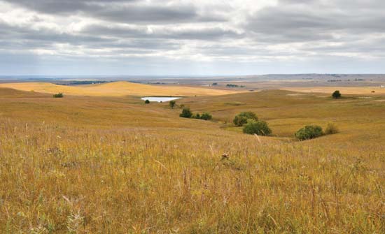
North Dakota can easily be divided into three geographic regions. The Red River 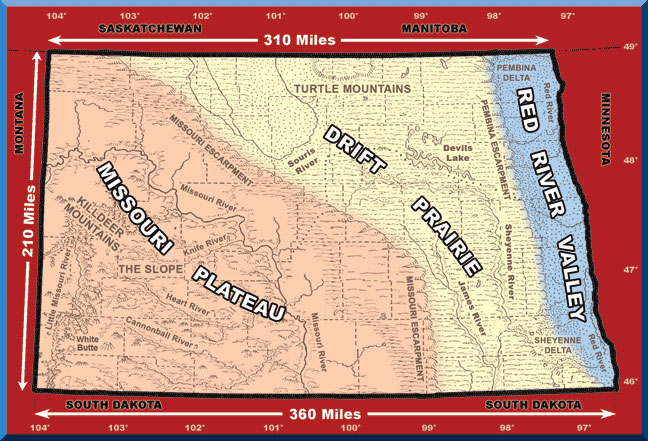 Valley in the east is a narrow strip of land that parallels the Red River from north to south, or probably more correctly from south to north. West of that are low rolling hills which in their native state were treeless grasslands. The bulk of the state, the southern and western portion of the state, is the Missouri Plateau notebaly with the Missouri River flowing through more abrupt rolling hills and buttes, and the badlands with the Little Missouri flowing through them. Valley in the east is a narrow strip of land that parallels the Red River from north to south, or probably more correctly from south to north. West of that are low rolling hills which in their native state were treeless grasslands. The bulk of the state, the southern and western portion of the state, is the Missouri Plateau notebaly with the Missouri River flowing through more abrupt rolling hills and buttes, and the badlands with the Little Missouri flowing through them.
With the Red River flowing north into the Hudson Bay in Canada and the Missouri River and its tributaries flowing south into the Gulf of Mexico, North Is divided with a continental divide. South flowing rivers flow toward a warmer climate where the rivers have already thawed and readily accept the melting snow of spring. The north flowing Red River and Souris or Mouse River flow north during spring thaws headed directly into still frozen northern sections of the rivers causing waters to dam up and flood.
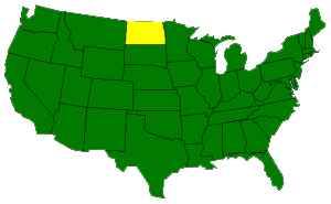
The state is located between 46˚ and 49˚ latitude north. The geographic center of North America lies within its boundaries. Minnesota borders North Dakota on the east, South Dakota on the south, and Montana on the west. To the north is Canada with both the providences of Manitoba and Saskatchwan bordering North Dakota. The total area of North Dakota is a bit more than 70,000 square miles with about 1700 square miles of that covered by water. |
More
|