NS 481/581 NSSI Week 1 - Geomorphology Module
Class Syllabus (Adobe Acrobat Format)
NS 481/581 Master Syllabus
NS 481/581 Syllabus for Geomorphology (Week 1) Module
Bulletin Board **Check Here for Class News and Events**
Click Here for a Copy of the Week 1 (Geomorphology) Take-Home Exam
Click Here for a List of Week 1 Materials Due Monday July 2, 2001 8:00 AM
Class Notes
The class notes are organized according to their order of occurrence throughout the week. They are available in Adobe Acrobat Reader (PDF) Format. Acrobat Reader is invoked as a plug-in within the web browser environment. It is available on most machines at WOU. Acrobat Reader can be downloaded for free by returning to Taylor's Home Page
Exam study guides will be included as the term progresses. Please check future postings as exam time approaches
Introduction
Introduction to Geomorphology
Introduction to Geographic Information Systems
Student User Guide to ArcView Software
Overview of Watershed Hydrology
Principles of Geomorphic Mapping
Class Reading Assignments
Lab Exercises and Field Data
Unit Conversion Tables
Review of Topographic Maps
Introduction to Geographic Information Systems
Stream Hydrology
GIS Preliminary Field Site Projects
Little Luckiamute (Black Rock) Field Data
Luckiamute Online Map Images
Module 1 GIS Metadata
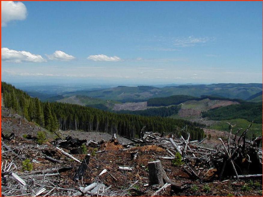
Field Photos
GIS Software Links
Writing Guides
General Guide to Technical Writing for Earth Science Students
GIS Web Links / Map Theme Download Sites
Oregon Data
Pacific Northwest Regional Ecosystem Office
OSU Research Forest GIS Data
State of Oregon Geospatial Data Clearinghouse
Oregon Dept. of Forestry Debris Flow Hazard Maps by County
Oregon Dept. of Forestry GIS Home Page
University of Oregon Mallard GIS Spatial Library
Download Oregon Digital Soil Surveys
OR/WA BLM Geospatial Data
Oregon Climate Service
California Data
California Geographic Information Systems (GIS) Portal
GIS data for northern California
CERES USGS 7.5 Minute California DRG's By County
California Environmental Resoures Evaluation System
California Environmental Information by Data Type
National Data
ESRI GIS ArcData Online
US Geological Survey Geographic Data Download
GIS Community Data Depot
Center For Advanced Spatial Technologies (CAST)
GISDataDepot Free Data Download Home Page
GISDataDepot US - Statewide Data
GISDataDepot United States - Nationwide Data
USGS online Earth Explorer - search engine for USGS map and photo coverages
USGS Map Finder Search Engine
USGS Air Photo Finder Search Engine
General GIS-Related Links
Willamette Valley GIS Users Group
Federal Geographic Data Committee (Federal GIS Coordination)
UC Berkeley Digital Library Project